


This year’s dry season has resulted in a severe spike in fires on the island of Sumatra, Indonesia, according to WRI. NASA’s Active Fires satellite system has detected an alarming numbers of hotspots recently.
Forest and land fires are a long-standing problem in many parts of Indonesia. Although the causes of these fires are complex, they are often attributed to companies clearing land for oil palm or other plantations, according to WRI. They are also attributed to small farmers clearing land for cultivation, or communities which may use fire as a weapon in conflicts with companies or the government.
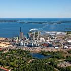
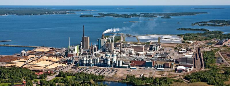
According to The Guardian, most of this year's fires appear to have been started in Riau province, northern Sumatra, which is the centre of the rampant Indonesian palm oil and pulp and paper industries.
An IPCC report recently warned that the “haze” that these forest fires are creating would make some major urban centres uninhabitable.
However, policymakers in Indonesia have started to heed earlier warnings about the fire risk. Indonesia’s Vice President Boediono has established a special “situation room” is reportedly being to help ensure a more coordinated response.
WRI used NASA’s Modis satellites to determine the likely location of fires on the ground. The sensors on these satellites detect the heat signatures of fires within the infrared spectral band. When the satellite imagery is processed, an algorithm searches for fire-like signatures. Once a fire is detected, the system indicates the 1 km2 where the fire occurred with an “alert.” The system will almost always detect fires of 1,000 m2 in size.


